How to get to Valencia
Click here for driving directions from Google Maps. Enter your start point in the top left.

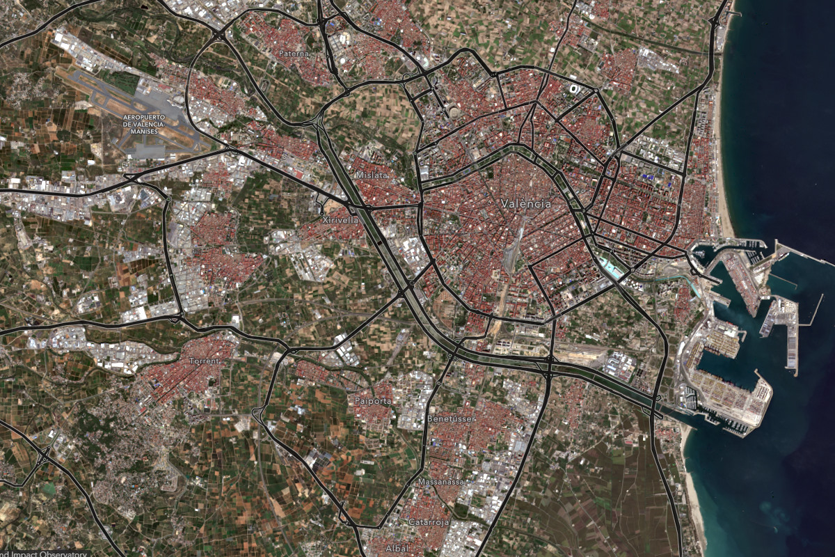
Basic Map of Valencia City.
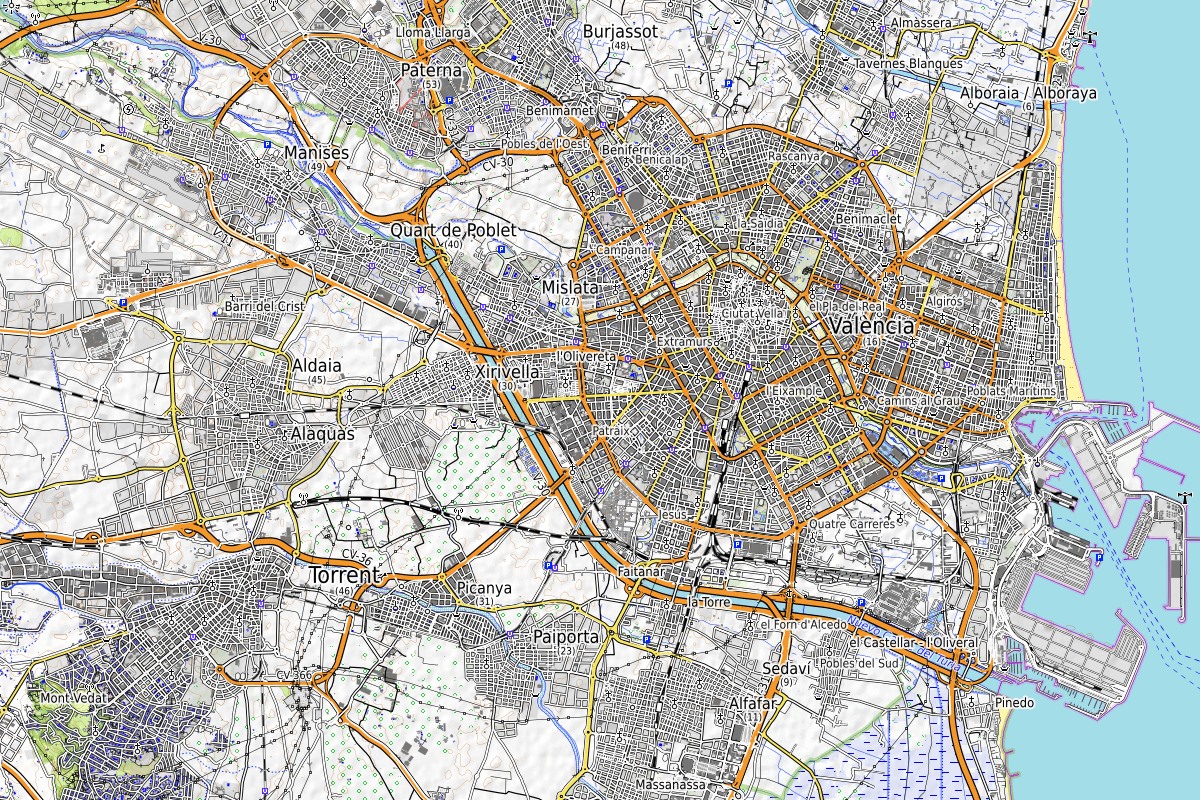
Urban Land Use Map of Valencia City showing population density and distribution.

Map of Valencia Agriculture.

Basic Map of Valencia City and Districts.

Valencia city location map in relation to coast of Spain.
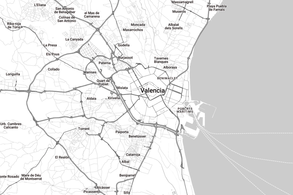
Valencia city transportation map.

Valencia city transport system map.

Valencia old town landmarks and tourist attractions map.

Valencia city landmarks and tourist attractions map.

Valencia city centre map showing historical centre.

Valencia city parking map showing locations of the various free, paid, open, and covered parking areas.
Travelling from Valencia Airport to Valencia City Center:
By Metro:
- Lines: Metrovalencia Lines 3 and 5
- Service: Direct connection from the airport to city centre stations like Xàtiva and Colón
- Journey Time: Approximately 25 minutes
- Tickets: Available at metro stations; cost is around €5
By Bus:
- Operator: MetroBus Line 150
- Service: Connects the airport to Valencia city centre with intermediate stops
- Journey Time: Approximately 45 minutes
- Tickets: Available on board; cost is around €1.50
By Taxi:
- Service: Direct transportation to the city centre
- Journey Time: Approximately 20 minutes
- Cost: €20-€25
- Availability: Taxis are readily available at the airport
High-Speed Trains to Valencia City:
From Madrid:
- Operator: Renfe AVE
- Service: High-speed trains from Madrid Puerta de Atocha to Valencia Joaquín Sorolla station
- Journey Time: Approximately 1 hour and 40 minutes
- Frequency: Multiple daily departures
- Tickets: Available online or at stations
From Barcelona:
- Operator: Renfe Euromed
- Service: High-speed trains from Barcelona Sants to Valencia Joaquín Sorolla station
- Journey Time: Approximately 3 hours
- Frequency: Multiple daily departures
- Tickets: Available online or at stations
Distances from Valencia to Major Cities:
- Madrid: Approximately 350 km west of Valencia
- Barcelona: Approximately 350 km northeast of Valencia
- Seville: Approximately 650 km southwest of Valencia
- Bilbao: Approximately 600 km north of Valencia
- Malaga: Approximately 600 km southwest of Valencia
Distances from Valencia City Center to Important Services:
Hospital:
- Name: Hospital Clínico Universitario de Valencia
- Address: Av. de Blasco Ibáñez, 17
- Distance: Approximately 2 km from the city centre
Train Station:
- Name: Estación del Norte
- Address: Carrer d’Alacant, 25
- Distance: Located in the city centre
Bus Station:
- Name: Estación de Autobuses de Valencia
- Address: Carrer de Menéndez Pidal, 13
- Distance: Approximately 1.5 km from the city centre
Ferry Terminal:
- Name: Port of Valencia
- Address: Moll de Ponent
- Distance: Approximately 6 km from the city centre
Alicante’s Top 6 Medieval Villages You Need to Visit
d2earth2025-10-11T07:56:38+00:00
Is Barcelona Spain’s Least Friendly City for Expats?
d2earth2025-10-07T10:24:38+00:00
Another Mayor and More Developers Sentenced in Illegal Homes Scandal in Costa Blanca
d2earth2025-10-07T06:56:14+00:00